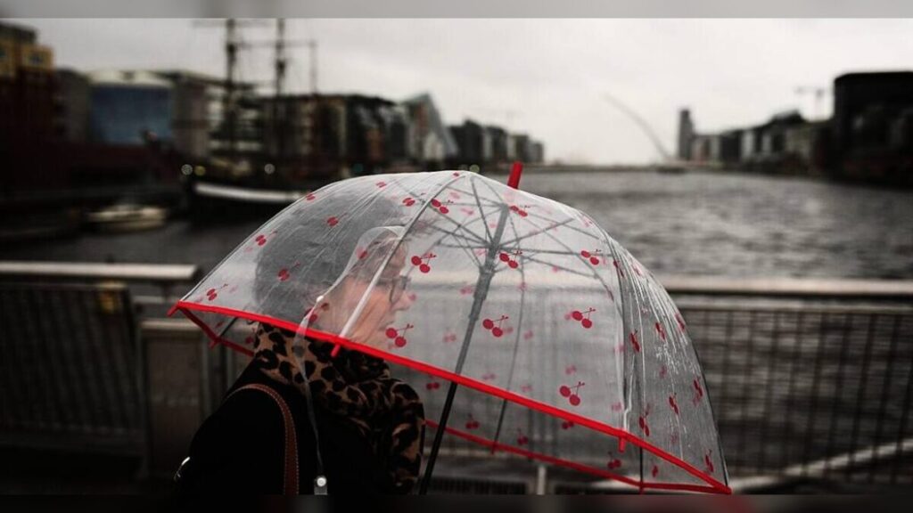
Ireland is set for a blustery Thursday as Met Éireann issues a yellow wind warning for the entire island, along with yellow rain alerts for many counties.
Strong south-westerly gusts are expected from midnight to 6pm, raising concerns about travel safety and potential damage from fallen branches or loose debris.
Residents are being urged to secure loose items outdoors and exercise caution while driving or walking, particularly in exposed areas.
Counties Under Rain Warnings
The yellow rain warnings cover a wide swath of the country, including Cavan, Donegal, Monaghan, Clare, Kerry, Limerick, Tipperary, Dublin, Kildare, Laois, Longford, Louth, Meath, Offaly, Westmeath, Wicklow, and the whole province of Connacht.
The alert runs from 6am to 3pm, with Met Éireann noting that persistent rainfall may cause flooding, slippery roads, and reduced visibility.
Motorists should drive carefully and allow extra time for journeys.
Snow and Ice Add to the Mix
In addition to wind and rain, parts of the country are under snow and ice warnings.
Counties affected include Kerry, Cork, Limerick, Tipperary, Waterford, Donegal, Galway, Leitrim, Mayo, Sligo, and Wicklow.
The warning begins at 9pm Thursday and lasts until 9am Friday, making overnight travel particularly risky.
Drivers are advised to check road conditions before setting out and to carry essential supplies if traveling long distances.
Airport Disruption Expected
Dublin Airport has already felt the effects of the high winds.
Graeme McQueen, a spokesperson, reported that three incoming flights were diverted and eight “go-arounds” occurred in just the past few hours.
Smaller aircraft, particularly propeller planes serving regional UK airports, are most affected.
Passengers are strongly advised to contact their airlines before traveling, as further delays are likely over the morning.
Coastal and Atlantic Regions to Feel Strongest Gusts
Met Éireann meteorologist Holly O’Neill warned that conditions will be especially rough along the Atlantic coastline.


The combination of rain, wind, and lower temperatures means residents in coastal areas should remain vigilant and expect disrupted travel and rough seas.
Temperatures and Weekend Outlook
As the rain clears Thursday afternoon, temperatures will drop to between 0°C and 3°C, potentially causing icy patches on roads.
The weekend remains unsettled, with sunny spells interrupted by scattered showers.
Residents should be prepared for variable weather and keep an eye on forecasts.
Impact and Consequences
-
Travel disruption: Road, rail, and air services will be affected, especially in windy or icy regions.
-
Flight delays and diversions: Regional airports and smaller aircraft are at particular risk.
-
Safety hazards: Falling branches, debris, and slippery surfaces may pose dangers to pedestrians and drivers.
-
Flooding risk: Persistent rain could cause localized flooding in low-lying areas.
What’s Next?
-
Residents should monitor weather alerts from Met Éireann.
-
Airlines recommend passengers check flight status regularly.
-
Road users should allow extra journey time and drive cautiously.
-
Authorities may issue further warnings if conditions worsen overnight or in coastal zones.
Summary
Ireland faces a challenging weather day on Thursday, with strong winds, heavy rain, and snow/ice in some counties.
Travel is expected to be disrupted, especially at airports and along coastal areas.
Temperatures will fall as the rain clears, and unsettled conditions are likely to continue into the weekend.
Bulleted Takeaways
-
Yellow wind warning for the entire island from midnight to 6pm Thursday.
-
Yellow rain warnings for multiple counties from 6am to 3pm Thursday.
-
Snow and ice warnings active from 9pm Thursday to 9am Friday for southern and western counties.
-
Airport delays reported; smaller aircraft are particularly affected.
-
Coastal regions will experience strong gusts and hazardous conditions.
-
Temperatures drop to 0–3°C as rain clears.
-
Weekend forecast remains unsettled with sunny spells and showers.
