
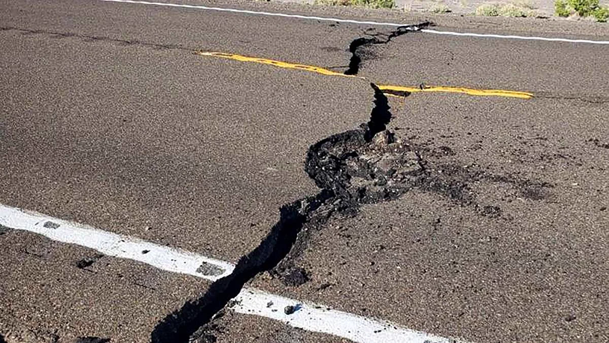
Two earthquakes struck Nevada within just 24 seconds of each other on Friday, shaking an area located in a region where the Earth’s crust is gradually stretching and breaking apart.
According to the United States Geological Survey (USGS), the tremors registered magnitudes of 3.6 and 3.5 and occurred near Preston, a community with a population of more than 160,000.
The first earthquake was recorded at 10.10am ET, followed by the second at 10.10am and 24 seconds later.
No damage or injuries have been reported following the seismic activity.
Earthquake Shaking Concentrated Around Epicentre
The USGS ShakeMap indicated that the strongest shaking was concentrated around the earthquakes’ epicentre, with the intensity decreasing farther away from the source.
Residents in nearby communities also reported feeling the tremors.
Trina Thomasson wrote on Facebook that she experienced shaking in Ely, approximately 32 miles northeast of Preston.
An assessment by Michigan Tech University classifies earthquakes measuring between 2.5 and 5.4 in magnitude as generally noticeable but capable of causing only minor damage.
Nevada Sits Within a Major Seismic Region
The earthquakes occurred within the Basin and Range Province, an extensive geological region covering more than 300,000 square miles across the western United States.
The area stretches across much of Nevada, Utah, eastern California, southern Idaho, Oregon, Arizona and New Mexico.
Its geological structure is characterised by the gradual stretching and thinning of the Earth’s crust.
As the ground pulls apart, large fractures known as faults develop, and movements along these faults generate earthquakes.




Over millions of years, the process has divided the crust into enormous blocks.
Some blocks sink to create valleys, while others remain elevated or tilt to form mountain ranges.
The continued stretching has gradually widened the region and reduced the thickness of the crust beneath it.
Recent Earthquakes Recorded Near Preston
Friday’s tremors followed several other earthquakes recorded near Preston in recent months.
On September 27, two earthquakes measuring magnitude 4.1 struck west of the community.
Although Friday’s earthquakes were smaller, seismic activity in the Basin and Range Province contributes to the geological processes that continue to reshape the region.
Nevada Among America’s Most Seismically Active States
Nevada is the third most seismically active state in the United States, behind Alaska and California, according to the Nevada Bureau of Mines and Geology.
Small earthquakes occur somewhere within the state every day, although their strength and effects vary.
The state has also experienced powerful earthquakes capable of producing significant and permanent changes to the landscape.
On December 16, 1954, a magnitude 7.1 earthquake struck Fairview Peak in central Nevada.
Another major earthquake followed approximately four minutes later in nearby Dixie Valley.
The two events caused substantial ground movement along several faults, with vertical displacement reaching approximately 12 feet in some locations.
They also triggered landslides and rockfalls and altered the flow of springs and wells.
Earthquake Clusters Do Not Always Signal a Larger Tremor
Despite the frequency of earthquakes in Nevada, scientists caution that several tremors occurring close together do not automatically indicate that a larger earthquake is approaching.
According to the USGS, earthquake clusters can occur without being followed by a more powerful event.
Scientists also cannot conclusively identify an earthquake as a foreshock until a larger earthquake subsequently occurs.
Consequently, Friday’s back-to-back tremors near Preston do not, on their own, establish that a major earthquake is imminent.
