The Atlantic hurricane season is showing no signs of slowing down, and residents along the U.S. East Coast are being urged to stay alert as Hurricane Humberto rapidly gains strength.
Forecasters are now closely monitoring not just one, but potentially two major storms heading toward the region, raising concerns about unprecedented weather activity in the coming days.
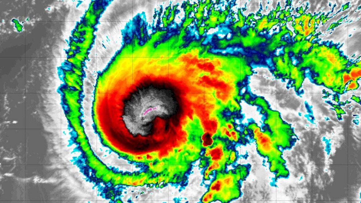
Humberto Strengthens into Category 1 Hurricane
Early Friday morning, the National Hurricane Center (NHC) confirmed that Humberto had become a Category 1 hurricane, with sustained winds topping 75 mph.
Updated projections indicate the storm could intensify into a Category 3 major hurricane by Saturday afternoon, with winds exceeding 110 mph.
The hurricane is expected to maintain this intensity at least until Tuesday as it approaches the mid-Atlantic states, including South Carolina, North Carolina, and Virginia.
While most forecast models suggest Humberto may stay offshore, a few tracks hint that a direct landfall in North Carolina, Virginia, or Maryland remains a possibility, leaving residents on edge.
Imelda: A Second Storm Brewing in the Caribbean
Complicating matters, meteorologists are tracking a second tropical system, currently called Invest 94L, developing between Cuba and the Dominican Republic.
Within the next two days, this system is likely to become Tropical Storm Imelda, the ninth named storm of the Atlantic season.
Forecasters warn that Imelda could make landfall in Florida, Georgia, or the Carolinas, bringing heavy rain and flooding.
AccuWeather senior meteorologist Chad Merrill highlighted that the East Coast, particularly South Carolina and North Carolina, could face severe flooding as Imelda strengthens.
Rare Fujiwhara Effect Could Impact Storm Paths
The proximity of Humberto and Imelda—currently just 600 miles apart—raises the potential for a rare meteorological phenomenon known as the Fujiwhara Effect.
This occurs when two storms within 900 miles begin to interact, rotating around a shared center or, in some cases, merging into a single, more powerful storm.
If Humberto and Imelda do interact, it could significantly alter current forecasts.
Depending on their relative strengths, Humberto might absorb Imelda, creating a massive hurricane that could shift in unpredictable directions, leaving coastal areas facing uncertainty.
Historical Context and Peak Season Warning
Fujiwhara interactions are rare in the Atlantic, with only four documented instances near the East Coast since 1995.
The most recent event occurred in 2016 when Hurricanes Matthew and Nicole approached within 800 miles of each other.
Humberto and Imelda’s potential interaction comes at a critical time, as the Atlantic remains in the peak of hurricane season, which typically continues until mid-October.
Earlier this season, Hurricane Erin became the strongest storm of 2025, reaching Category 5 intensity and causing significant surges and flooding despite staying offshore.
Preparing for the Worst
With two major storms potentially interacting, meteorologists are urging East Coast residents to stay vigilant.
Forecasts could change rapidly as Humberto approaches and Imelda forms, and authorities emphasize readiness for flooding, high winds, and other storm-related hazards.